

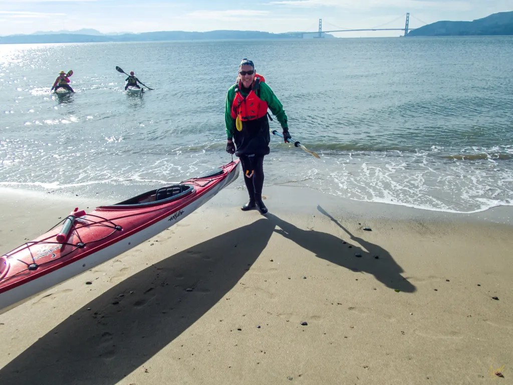
Today’s paddle takes us from Ferry Point in Richmond to Quary Beach on Angel Island. The plan was to take advantage of the currents, riding to the island on the end of the ebb tide and returning on the beginning of the flood. Our trip leader shared from her knowledge of the currents; as you approach Angel Islands the ebb current flows around both the north and south side of the island on its way out the Golden Gate. The trick is to pick a course that will keep you in a position so that you don’t get swept either way around the island. Slack water was at 11:14. After the usual briefing and safety check we were on the water at 9:25.


After launching off the beach we all held up to let the ferry pass, then we were out on the bay crossing to Angel Island on calm water with just a few bumps from passing ferries. Our intended course served us well. Once we were near the island we turned south, paddling around Quarry Point and landing on Quarry Beach at 11:45. Good timing for the day’s currents. We took advantage of the picnic tables on the bluff just above the beach.


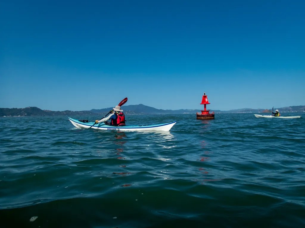
After lunch we were back on the water heading back to our launch site. With the tide turning we were now paddling with the flood coming in the gate and we again chose a course to take advantage of the current, paddling back around the island to Point Simpton and then turning towards Richmond. On this leg we saw a few porpoises in the distance. As we crossed the open water, we started to experience some following seas. Nothing to alarm us, but it did require some skill to keep the boats on course.


We were back on the beach at 12:55 having logged 8.4 miles. More photos are available in an online gallery.


You must be logged in to post a comment.