

Today’s paddle takes us from Barbara and Jay Vincent Park in Richmond to the Berkeley Marina. We launched on a rising tide, with quite a bit of gravel beach exposed at 10:30. Current was not much of a concern. A gentle breeze was blowing when we launched with more wind predicted for the afternoon.


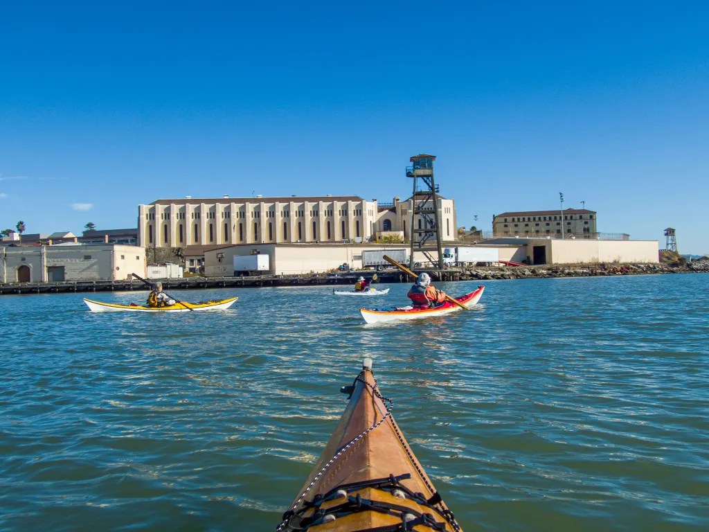
Once all nine of us were on the water we headed for the southeast corner of Brooks Island and then changed course for Berkeley. A few pelicans wheeled overhead, and a harbor seal startled when we must have interrupted its nap. We paddled inside the Berkeley breakwater and holed up near the entrance to the marina. There our leader announced that we would paddle into the marina and haul out at the boat ramp for lunch. It was 11:45 when we landed. After lunch and the requisite chocolate fix we were back on the water retracing our path.


We had just enough wind to create a bit of chop with a few waves splashing over my boat. I discovered that my spray skirt was leaking, and I could feel the cold water dribbling down the back of my wetsuit. I ended up with more water in my boat that I would like. The spray skirt is something I’ve been meaning to replace; today’s paddle makes it a priority. My boat handles well in the wind and the chop so the wet and bouncy ride made for a fun run.


At 1:45 we were back on the beach having logged 7.3 miles, and I felt like I had had a good workout. More photos are available in an online gallery.


You must be logged in to post a comment.