

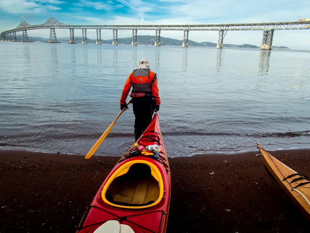
Point San Pablo Yacht Harbor always feels to me like a place that time left behind, not far from the hustle and bustle of the Bay Area, but also quiet and isolated. The gravel beach makes a fine spot for launching kayaks. Eight of us were on the water at 10:25. Riding the tail end of the flood gave us a bit of a boost, but with slack water at 11:44 we found ourselves bucking a slight current when we reached Point Pinole.


We had pelicans flying overhead and a few curious harbor seals giving us the eye. Arriving at Point Pinole, we paddled around the point and under the fishing pier landing on the beach at 12:25.


Eight of us made a cozy fit around the picnic table just above the beach. True to form, several varieties of chocolate candies were passed around. We were back on the water at 1:15. With the current with us all the way we made good time on the return.


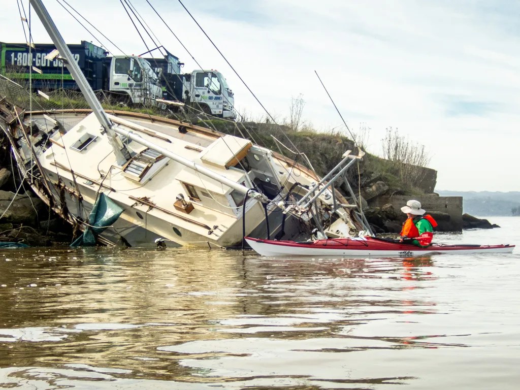
As we passed Riviera de Garbage (otherwise known as the landfill near North Richmond) Alan took pride in claiming the name. You can see him pointing to the Riviera above. We were back at our launch site at 2:45 having logged 9.9 miles. More photos are available in an online gallery.


You must be logged in to post a comment.