A 49ers Game Day Experience in Levi Stadium

About a year ago, Peter, my Cornish “cousin” asked me if I would take him to a 49ers game on his visit to California. Peter is actually my Aunt Sue’s nephew. Sue is my aunt by marriage. She grew up in Cornwall and moved to the United States in 1964. Last year we escorted Sue, who is now 87, back to the place of her birth, Cornwall. Peter was kind enough to drive us around and to look after us. Thus, it was with pleasure that I agreed to take him to a 49ers game. This particular game was a big game with the 49ers playing the Kansas City Chiefs, in what was being billed as the Superbowl rematch.

Since I am not yet driving following knee surgery, my wife Joann drove us to Levi Stadium, a 20-minute drive from Sue’s place.

We arrived at the stadium plenty early, which was appropriate, given we did not know our way around and I was not moving fast with my gimpy knee. As we walked by the parking lot, we observed hundreds of tail gate parties going on, some with very elaborate setups with 49er branded pop-ups, pizza ovens and grills, and even a few well-stocked bars. Once we were inside the stadium, we were entertained by the 49ers drum corps. Then it was time to get in line for hot dogs, fries and beer.

Our seats were in section 201, row 7 seats 24 and 25 over the end zone. We were quite early as you can see from the empty seats behind us. By the time of kickoff at 1:25 those seats were full. As you can see the proper attire included 49er jerseys, but we managed to get by with just our 49er caps.

It was a lively game, although we were disappointed that the 49ers lost 28 to 18. Our quarterback, Brock Purdy, apparently wasn’t up to his usual performance. Once the game was over, we found our way out of the stadium without much trouble. We discovered that our intention to use Lyft or Uber for a ride was not viable. No drivers were available. We prevailed on my wife Joann to come pick us up. It was quite an experience at the game with some 68,000 very noisy fans. I took a few photos to document the experience–including experimenting with a long exposure app on my iPhone to create something of an intentional camera motion (ICM) photo. I think this image captures the emotion of the game, at least from point of view in the stands.

Big River Paddle

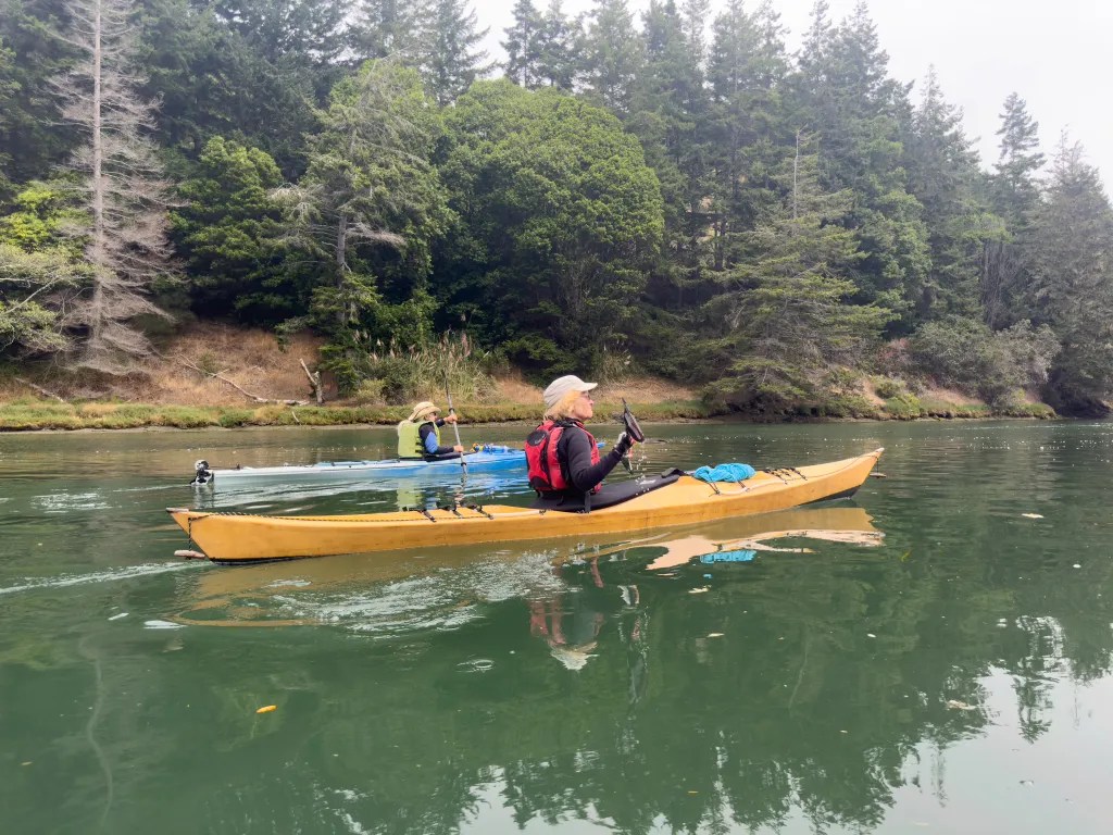
The Big River offers a spectacular opportunity for a calm water paddle in Mendocino. This is a favorite paddle for a number of our BASK club members, and an option when conditions on the coast are a bit challenging.

Today we had quite a group of paddlers launching from the beach, both well-seasoned, experienced paddlers and a few people new to kayaking. Paddling here feels like being in a canyon between the towering redwood and fir trees lining the river.

We split into two pods, with the faster paddlers in the lead and the slower paddlers poking along behind. This worked until we happened on a family of otters that were feeding along the bank and seemed to be oblivious to us. We watched for quite a while before continuing up the river. Trying to photograph the otters was a challenge. I did not capture anything of interest.

Along about noon we found a spot where we could land for lunch. There are not many places where one can land easily. After lunch we continued up the river until several paddlers decided it was time to turn back. Three of us split off from the main pod and paddled back.

It seems that a logging company had done some work maintaining logging roads. We explored a couple of culverts they had installed and poked our noses into a little waterfall that was flowing down the bank. We logged a little over nine miles by my recollection. My phone battery died before we got back to our landing, and I lost part of my GPS track.

Out the Gate

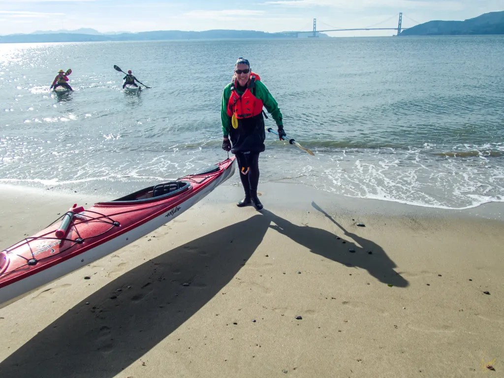
10 of us, members of BASK (Bay Area Sea Kayakers), met at the boat ramp at Horseshoe Bay near the north end of the Golden Gate Bridge. The plan was to paddle out under the Golden Gate Bridge, along the shore and then to cross over to the south side for lunch at China Beach. Our adventure started with a safety talk where we reviewed our plan and checked our radios. We were on the water at 11 a.m. There was a tongue of fog lingering under the bridge, but that just added to the sense of adventure.

As we passed Lime Point and headed under the bridge, a swirl of water caught me and tried to spin me around, but I had been watching the water and corrected my course. The active water just adds to the fun. Then it was out along the shore towards Point Diablo.

Before crossing to the south side, one of our members contacted Vessel Traffic Service (VTS) to make sure we would be clear of any shipping traffic. With no anticipated ship traffic, we gathered in a tight pod to cross the shipping channel. As we entered the more exposed water, we started to feel the swell moving us up and down. There was enough wave action to so that boats on the opposite side of a wave would disappear out of sight, and the waves seemed to be a bit steep, perhaps due to the wind and the current coming from opposing directions.

The current was apparently taking us further out the gate then we had planned, and we had a couple of paddlers experience some sea sickness. One has to temper the current predictions with the fact that this year there is a tremendous amount of water coming down the river into San Francisco Bay, accentuating the ebb. We put two boats on tow lines to move things along. It was a workout making way to China Beach. It was 2 p.m. when we landed on the beach for lunch.

After a quick lunch, we were back on the water heading for the south tower of the bridge. We gathered in the calm water of an eddy behind the tower. There we contacted VTS again and learned that a container ship was approaching the bridge. We held up for the ship to pass. Then we put our paddles in the water to get across the shipping channel. As the ship passed, we were met with the wake, a steep wave. Punching through the wake felt like punching through surf. Having crossed the bay again we headed for our launch site. Once we were back on the beach, we all agreed that it was an epic adventure. We logged 12.5 miles. More photos are available in an online gallery.

Angel Island

Thursday morning, November 17. A chilly morning, and climbing into my wet, clammy dry suit seemed quite rude. Wet inside and out. I had been out the previous evening for a rolling clinic. The suit was wet on the outside from being upside down in the cold water of San Francisco Bay, and damp on the inside from condensation. I contemplated adding a layer of insulation but figured once I was on the water I would warm up.

Six of us assembled on the beach at Ferry Point. The predicted weather and tides were favorable for a paddle around Angel Island. After a quick safety talk and radio check we were on the water at 10 a.m. Shortly after leaving the protection of the Richmond Shipping Channel, we encountered a breeze and some wind waves out of the northwest. We watched several ferries zipping up and down the bay, and then we held up for a barge that was crossing our path in the shipping lane. We had a couple of harbor seals check us out also.

Our radios were handy for staying in touch and keeping the pod together in the midst of ship traffic. Once we were across the shipping lane we opted to continue our way around the island in a clockwise direction. We landed on Perles Beach a little after noon. Perles Beach faces the Golden Gate with a panoramic view that includes San Francisco as well.

There was just enough breeze to create a bit of a wind chill, so after a brief lunch we were happy to get back in our boats to continue our journey. Back on the water we continued around the island. After rounding Point Stewart, we paddled close to shore to check out the beach at Kayak Camp. One of the photos shows a fellow kayaker with his boat pointed to the trail that leads up from the beach to the campground. There was no trail visible from the water. The trail is presumably overgrown. Once we were back around to the eastern side of the island, we again held up for shipping traffic and then continued on our way back to Ferry Point.

We were back on the beach at 2:20 p.m. after a perfect paddle around Angel Island logging 12 miles. You can see more photos in an online gallery. Here’s the track of our paddle.

Kayaking Baja

In early December we managed to get our kayaks out on the Sea of Cortez for a couple of paddles. We had traveled to Baja as part of a caravan of 11 campers on a trip led by Bob Wohlers and the Off-Road Safety Academy. Our first opportunity to paddle was at Bahia San Luis Gonzaga. We spent two nights camped on the beach, which afforded us one day to kayak. We had calm water and no wind. We paddled from our campsite on the beach out around an outcropping of rocks and to the point at the northeast end of the bay. We saw numerous birds including Frigate birds, but not much other marine life. Coming back from the point we noodled along the shore poking into all the little inlets we could find.

We logged 6.6 miles and had a very pleasant paddle. Here’s the track of our paddle.

Our second opportunity to paddle was on December 10. Anticipating wind we were anxious to get on the water early, launching at 9:45 a.m.

We spent the better part of two hours paddling along the beach, around the headlands and back. Sure enough, on the way back the wind came up, as you can see from the whitecaps in one of the photos. Fortunately, we only had to contend with the wind for the short distance back to our camp.

Here’s a short video captured with my GoPro camera while paddling.

Threading the Needle

On July 13 it was time to get back on the water. We had a six week hiatus while playing grandparents and dealing with the challenges of social distancing and staying-at-home. With a prediction for afternoon winds we decided to get an early start. China Camp State Park was our chosen launch site and we were on the water at 9:40.

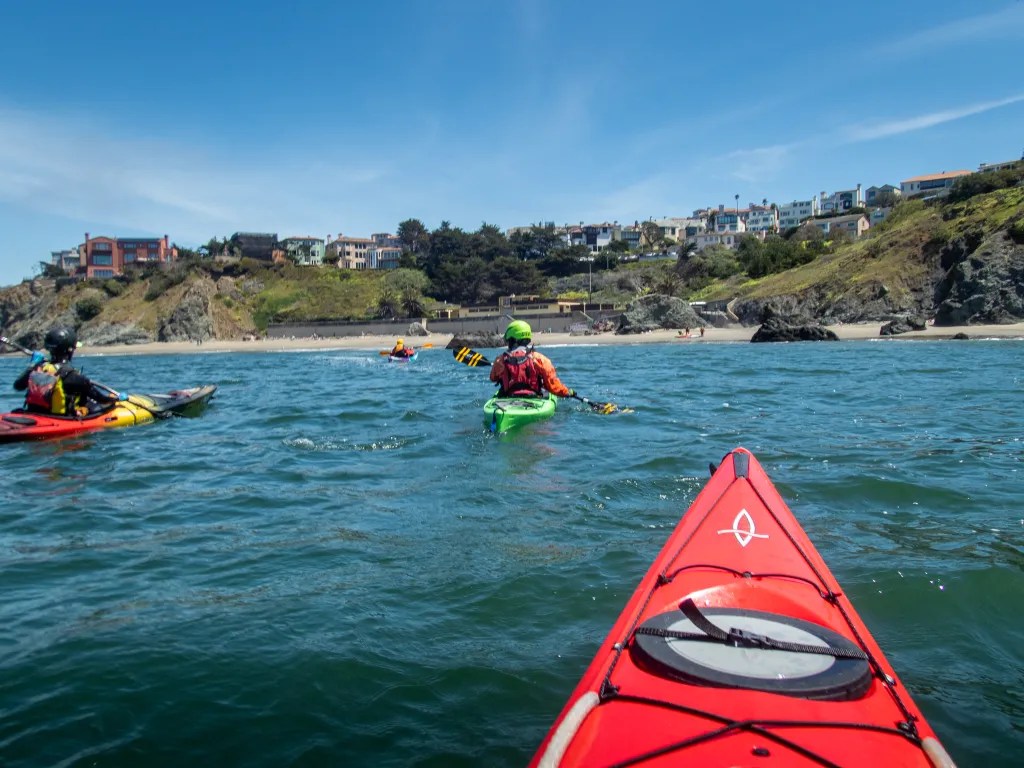
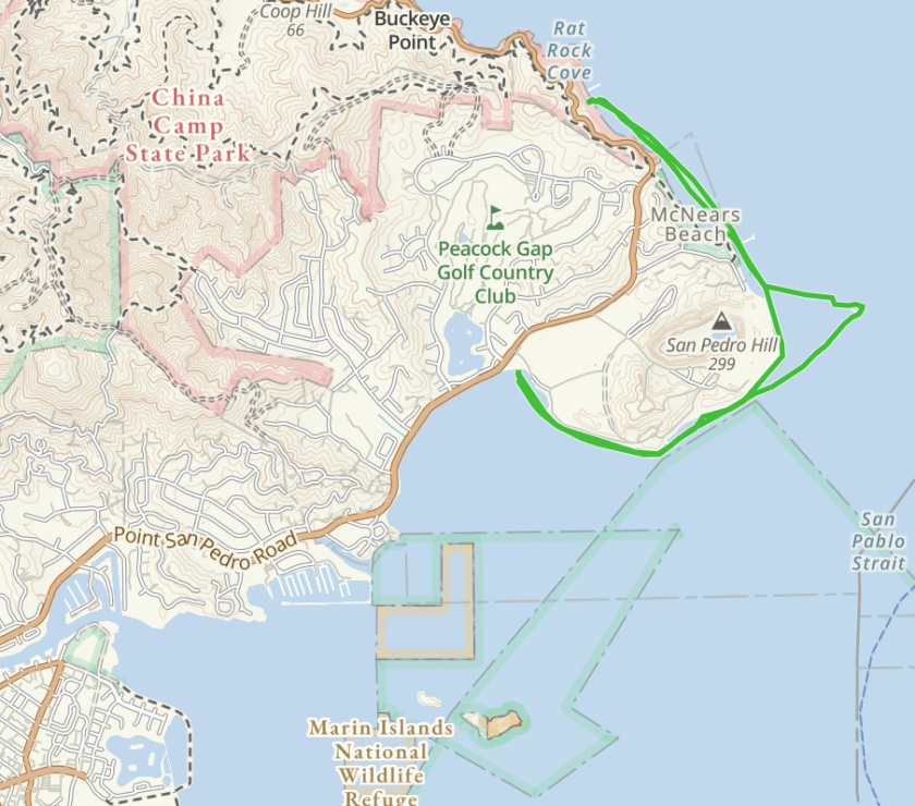
Our plan was to paddle south around Point San Pablo, check the wind and water and round the Marin Islands if conditions looked good. We were paddling on an ebb so we would have the current with us going south, and the wind with us on the return. Once we were on the water two small islands, The Sisters, looked inviting so we set course for the islands thinking we might “thread the needle,” passing through a narrow slot in the west Sister called Grendel’s Needle. Once we were through the slot, we headed back to Point San Pablo. We found that on crossing back we were experiencing the full fetch of the wind blowing from the southwest, giving us some steep wind waves up to three feet with a few whitecaps slapping us; not a place for an inexperienced paddler, but we found the challenge invigorating.

As we rounded the point, we left the rough water behind. I find when I’m paddling in challenging conditions I’m intent on keeping my hands on the paddle and practicing boat control. Putting the paddle down to take photos is not an option.

We took a quick reconnoiter of the Marin Islands and decided that rather than slog into the wind, we’d turn into a little beach near McNear Brick & Block, a brickyard that was established by George P. McNear and his son Erskine in 1898 which still operates today. You can see the chimneys of the brick works in one of the photos.

Once we landed, we pulled our boats out of the water and dipped into our lunches for a mid-morning snack. With the wind building though, we decided that it was prudent to get back on the water to begin our journey back around the point.

We were back at our launch point at noon. We finished our lunch and went back on the water to practice boat control drills and rescues. My Eskimo roll needs more practice.

Our paddle covered six miles, and we were glad to be off the water as we watched whitecaps build in the afternoon.

Tour de Albany

Sometimes you don’t need to go far to see interesting events. Today we had a bicycle race in town, and not just in town, but happening right outside our front door. This was the 32nd Annual Berkeley Bicycle Club Criterium — Red Kite Omnium Event #12.  Since I’m normally photographing architecture which is static, for the most part, I thought it would be a challenge to see what I could do with the action. You can view additional photos here.