


10 of us, members of BASK (Bay Area Sea Kayakers), met at the boat ramp at Horseshoe Bay near the north end of the Golden Gate Bridge. The plan was to paddle out under the Golden Gate Bridge, along the shore and then to cross over to the south side for lunch at China Beach. Our adventure started with a safety talk where we reviewed our plan and checked our radios. We were on the water at 11 a.m. There was a tongue of fog lingering under the bridge, but that just added to the sense of adventure.


As we passed Lime Point and headed under the bridge, a swirl of water caught me and tried to spin me around, but I had been watching the water and corrected my course. The active water just adds to the fun. Then it was out along the shore towards Point Diablo.


Before crossing to the south side, one of our members contacted Vessel Traffic Service (VTS) to make sure we would be clear of any shipping traffic. With no anticipated ship traffic, we gathered in a tight pod to cross the shipping channel. As we entered the more exposed water, we started to feel the swell moving us up and down. There was enough wave action to so that boats on the opposite side of a wave would disappear out of sight, and the waves seemed to be a bit steep, perhaps due to the wind and the current coming from opposing directions.

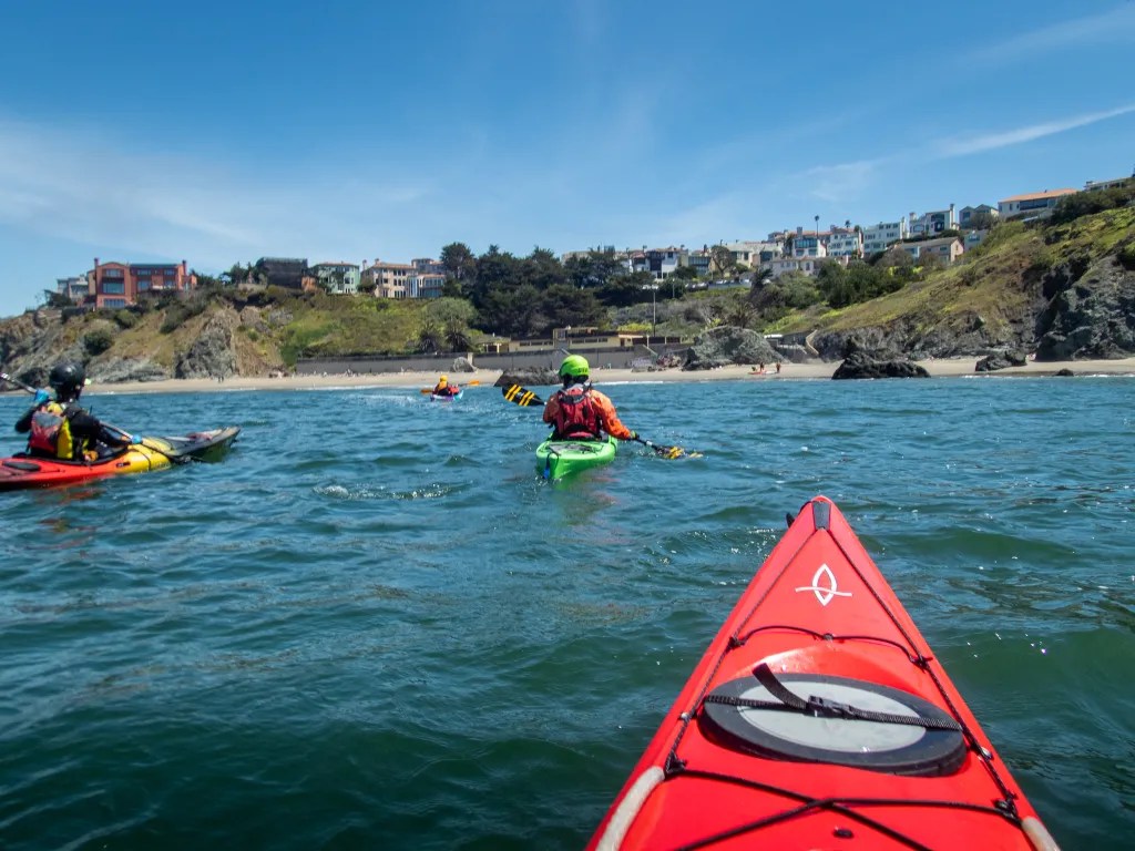

The current was apparently taking us further out the gate then we had planned, and we had a couple of paddlers experience some sea sickness. One has to temper the current predictions with the fact that this year there is a tremendous amount of water coming down the river into San Francisco Bay, accentuating the ebb. We put two boats on tow lines to move things along. It was a workout making way to China Beach. It was 2 p.m. when we landed on the beach for lunch.


After a quick lunch, we were back on the water heading for the south tower of the bridge. We gathered in the calm water of an eddy behind the tower. There we contacted VTS again and learned that a container ship was approaching the bridge. We held up for the ship to pass. Then we put our paddles in the water to get across the shipping channel. As the ship passed, we were met with the wake, a steep wave. Punching through the wake felt like punching through surf. Having crossed the bay again we headed for our launch site. Once we were back on the beach, we all agreed that it was an epic adventure. We logged 12.5 miles. More photos are available in an online gallery.


You must be logged in to post a comment.