Geezers Go Paddling

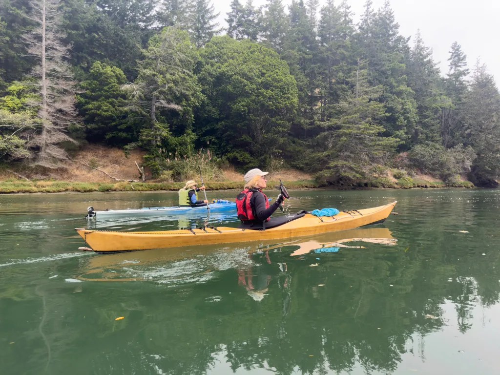
At 73 years of age, I’m the youngster on today’s paddle. The five of us range in age from 73 to 81. Never mind that Alan tapes up his hands with duct tape before climbing in his boat. Our launch point is Jean & John Starkweather Shoreline Park near the west end of the Richmond-San Rafael Bridge. We were on the water at 10:30 launching on calm water under blue skies, a welcome change following several days of rain.

Our course took us out past the Marin Islands, padding by several barges and some dredging equipment. We paddled on to Point San Pedro. From there The Sisters looked quite inviting. Two paddlers decided to head to our designated lunch site at Loch Lomond. Three of us paddled out and around The Sisters, stopping to play in the slot in the rock called Grendel’s Needle. We had a high tide and very little current. Sometimes there can be some dynamic water here. Today it was quiet.

Then it was time to head for Loch Lomond Yacht Harbor for lunch, landing on the boat ramp and carrying our boats up the ramp and out of the way to keep the ramp clear for other boaters.

After lunch it was back on the water. Alan had acquired a unicorn figurehead for his boat. Then it was back across San Rafael Bay to our launch site.

We were back at our launch site at 2:15 pm having logged 9 miles. More photos available in an online gallery. I had to look up the definition of “Geezer,” Vocabulary.com says “A geezer is an old person. It might hurt your grandfather’s feelings if you refer to him as a geezer, since he thinks of himself as being youthful.” So, apologies to my paddling buddies; paddling keeps us young.

Paddling to Paradise

Our paddle today takes us to Paradise. Paradise Beach on the Tiburon Peninsula. Our Lauch site is Windsurfer Beach. Given the tide prediction for the day we decided to launch at 11:00. Yea! I can miss the morning commute traffic on the Richmond-San Rafael Bridge. It took me less that 30 minutes to get to our launch site. There were 12 of us assembled on the beach at 11:00, quite a turnout for our recurring Thursday paddle.

The temperature was a bit chilly, so I put a second thermal top on under my drysuit and glad I did. I was quite comfortable despite the chilly overcast.

Our course took us across the ferry channel. We stopped to let ferries go by going both directions, then it was across the channel, past Paradise Cay, and on to Paradise Beach.

We landed at 12:05, grabbed our lunches and made the short walk up the hill to the picnic tables in the park.

The overcast sky provided nice lighting for portraits, and a nice view of Mount Tamalpais and we made our way back to Windsurfer Beach. I’m experimenting with my iPhone in a waterproof dive case. It seems some moisture condensation inside the case resulted in a soft-focus effect.

We were back on the beach at 2:30 having logged 8.5 miles. The battery on my iPhone went dead on our return leg, so I lost my GPS log i normally track with GAIA GPS. I was also carrying a Garmin InReach and an Olympus TG-5 camera. It was good to have a backup, both for the GPS log and for photos. More photos ae available in an online gallery.

Up the Creek

Ten paddles and eight boats. More paddles than people since you wouldn’t want to be stuck up the creek without a paddle. Some of us carry spare paddles. I broke a paddle a couple of years ago so it’s nice to have a spare available.

Our day began with an early start, with a stop at the Bovine Bakery in Point Reyes Station for breakfast. Their Morning Bun Coffee Cake is extraordinary. After our breakfast stop, we continued on to Miller Boat Launch. From there the plan was to paddle up Walker Creek until we could paddle no further. A king tide would afford us access to the upper reaches of the creek that are not normally accessible. Since this was mostly a flatwater paddle, I decided to take three cameras: my iPhone 14 in a waterproof dive case, my GoPro mounted on the deck and my trusty Olympus TG5 which is my camera of choice for kayaking. If I’m paddling in active water where managing a camera can be a challenge, I usually stick to my TG5 or my GoPro mounted on my helmet.

We were on the water shortly before 10:00 a.m., ahead of the posted OTW (on the water) of 10:00. When you are paddling with this group it’s best to be on time. Our navigation was a bit off. We missed the entrance to the creek and ended up dragging our boats over a bit of marsh. Once we were back on the main waterway it was smooth paddling.

We paddled up the creek and under the Highway 1 Bridge, continuing on as the waterway narrowed, keeping an eye out for snags and an occasional branch slapping us in the face. At the 5-mile mark we could paddle no further, so we turned around and paddled back to a little beach for lunch. 

After lunch we were back on the water, anxious to get back down the creek while we still had water. The current was now moving down the creek and it gave us a bit of a push. We saw a number of birds: egrets, herons and white pelicans. They evaded my photo attempts. More photos are available in an online gallery. You can also view more details about our track online. We were back at our launch point about 2 p.m. having logged 10 miles over the course of our paddle.

I was quite happy with the photos I got from the iPhone, although the shutter actuation on the dive case was a bit problematic. That’s something I need to work on.

Lunch at China Cove

Our paddle today took us from Dunphy Park in Sausalito to China Cove on Angel Island. There were 12 of us, a large group for a weekday paddle. We assembled on the beach for a safety talk and radio check, and then we were on the water at 11. Slack water in Raccoon Straight was 12:30, with a high tide of 6.4 feet at 11:15. We try to plan our paddles to take advantage of the current. Being on the water a little before slack means we might be pushing against a slight current, and after lunch we would have the current with us for our return trip. My boat for the day was my Pygmy Ronan which handles the wind and chop of the Bay with aplomb, although we had little to challenge us in that regard.

At China Cove we decided to carry our boats well above the tide line lest the rising tide should carry our boats away. Here’s a photo of our group having lunch, along with a map that shows our track and a photo of a pod of kayakers preparing to land at China Cove.

Weather conditions were quite favorable. My drysuit and my usual insulating layer felt a bit warm initially and I was thinking I might have overdressed, but in the end my layering proved to be a good choice. We had calm water on the route to the island. On our return we had a bit of lumpy water as we crossed Raccoon Straight. By now the ebb had started and we had the current assisting us on the return trip, logging up to 6 MPH. We were back at our launch site at 2:30.

It turned to out to be a beautiful day on the Bay, with a great group of friends. For wildlife we saw pelicans, cormorants, a great blue heron, and the requisite harbor seals. We logged 7.8 miles. More photos are available in an online gallery.

Mendocino Tunnel Vision

Seven of us gathered on the beach at Russian Gulch to explore the coast north to Point Cabrillo. When paddling around rocks we wear helmets and prefer plastic boats that are more forgiving when banging into rocks. We also wear wetsuits or drysuits should we end up going for a swim. We were on the water about 9 a.m. After a few days of rough water, we had calm conditions with little wind and wave action. This afforded us the opportunity to explore just about every cave and arch between Russian Gulch Beach and Point Cabrillo.

We did have one person go for a swim early in our paddle. A good opportunity to practice a T-rescue.

We paddled north along the coast noodling into every feature we could find. I had a GoPro camera attached to my helmet and was able to record much of our cave exploration.

We did find a couple of channels that offered some dynamic water. A few members of our pod opted to avoid the surging and sloshing water by paddling outside the rocks where conditions were calmer. Those of us that paddled inside the rocks had some fun bracing and practicing boat control.

We arrived at Point Cabrillo just before noon and found a very protected beach on which to land for lunch. After lunch we noodled our way back down the coast, once again taking advantage of the conditions to paddle in and out of the many caves and tunnels.

We were back on the beach a little after 3 p.m., having logged 7.7 miles. You can see the track of our paddle on the map. An excellent day on the water with some good paddling friends.

Big River Paddle

The Big River offers a spectacular opportunity for a calm water paddle in Mendocino. This is a favorite paddle for a number of our BASK club members, and an option when conditions on the coast are a bit challenging.

Today we had quite a group of paddlers launching from the beach, both well-seasoned, experienced paddlers and a few people new to kayaking. Paddling here feels like being in a canyon between the towering redwood and fir trees lining the river.

We split into two pods, with the faster paddlers in the lead and the slower paddlers poking along behind. This worked until we happened on a family of otters that were feeding along the bank and seemed to be oblivious to us. We watched for quite a while before continuing up the river. Trying to photograph the otters was a challenge. I did not capture anything of interest.

Along about noon we found a spot where we could land for lunch. There are not many places where one can land easily. After lunch we continued up the river until several paddlers decided it was time to turn back. Three of us split off from the main pod and paddled back.

It seems that a logging company had done some work maintaining logging roads. We explored a couple of culverts they had installed and poked our noses into a little waterfall that was flowing down the bank. We logged a little over nine miles by my recollection. My phone battery died before we got back to our landing, and I lost part of my GPS track.

Albion River Paddle

This was our first full day in Mendocino, having arrived the evening before to join our fellow BASK members (Bay Area Sea Kayakers) at Van Damme State Park. The fog was just starting to clear as we launched from the boat ramp at the Albion River Campground. This is a private campground and there is a $10 fee to launch a kayak here.

There were 11 of us and we were on the water at 10:20. What makes this paddle fun is following the meandering river through the coastal forest and passing houseboats that have untold stories to tell. There are also plenty of pilings and remnants from logging days. Along about noon it was time to find a landing spot for lunch.

Three paddlers opted to land early at a convenient spot on the bank. The rest of us paddled on until we found the waterway blocked by a downed tree. With no convenient spot to land we paddled back down the river to join our fellow paddlers who had stopped earlier.

We were back at our launch site at 3 p.m. having logged nine miles. You can see more photos in an online gallery. You can also read about previous adventures here.

Rock Creek

Our granddaughter’s fifth birthday was reason enough to join family at Rock Creek. So here we are at the East Fork Campground on Rock Creek in the Eastern Sierra: our granddaughter, her parents and two sets of grandparents.

We spent two nights here at 9000 feet of elevation, a cool retreat from the heat of the Owens Valley. For breakfast we fired up the Dutch Oven and cooked up a mushroom and brie breakfast strata, one of our favorite breakfast recipes. The hot coals provided heat to warm hands on the chilly morning. With two days to explore, our adventures included hiking around part of Rock Creek Lake and also paddling on the lake.

The trails were lined with wildflowers including Sulphur buckwheat, paintbrush, Lupine, penstemon and a host of other flowers.

Between us we had three boats, two canoes, and one kayak. We even managed to get our dog Carson into a canoe and were pleased to discover that he was a mellow pooch in the boat.

It’s such a lovely experience to paddle a boat on a quiet High Sierra Lake. It’s not a big lake; I logged 1.4 miles paddling around the perimeter. A peaceful and relaxing paddle. At one point we poked our boats up into the creek that feeds the lake and got a sense of white-water paddling. We were here mid-week, arriving on Wednesday and leaving on Friday, and we were surprised at how many people were here. This is a popular place for fishing, hiking and other outdoor activities. I would imagine the weekend would find the campgrounds full and parking for fishing and hiking scarce.

Ice Cream Paddle

The Lopez Island BASK (Bay Area Sea Kayakers) trip is a biennial event, with the exception of a break during the Covid pandemic. We spent a week camping at Spencer Spit Campground; over the course of the week, we did a number of day paddles. One of the traditions is to paddle over to Blakely Island for ice cream. So today is our ice cream paddle. There were 11 of us on the beach at Spencer Spit ready to launch at 9 a.m. We had clear skies and no wind, a marvelous start for the day. We paddled out to Frost Island and then set course for Bald Bluff with the intention of minimizing our time crossing the ferry route.

We kept a keen eye out for ferry and other boating traffic as we made our crossing. Once we were across, we paddled just far enough offshore to stay out of any eddies and to take advantage of the current.

We landed on the beach at the Blakely Marina at 10:30, too early for lunch but not too early for ice cream.

We took our time eating ice cream and lunch, waiting for the current to change so that we could enjoy an easy paddle back. You can see the 11 of us in the photo below. Once we were back in our boats, we poked our noses out into Peavine Pass where the current was running strong, and we made a quick turn to enter the “express” lane for a fast ride. On the return trip we held up for ferry traffic to pass with ferries going in both directions.

We were back on the beach at Spencer Point a little after 2 p.m. We logged 9.4 miles on the day’s paddle. An excellent outing with a fun group of friends.

Lopez Island: Makaye

This is day four on our Lopez Island adventure. Today we met with a few of our fellow kayak club members (BASK, Bay Area Sea Kayakers) at the Makaye Harbor Boat ramp for a paddle around the southern points of the island.

From the boat ramp we headed south and around Iceberg Point, noodling along the coast, paddling through kelp beds and poking into caves. We conintued to noodle along the coast until we got to Blackie Brady County Park.

There we landed and broke out our lunches. After lunch we were back on the water retracing our route back to our launch site.

Over the course of the day, we logged 11.6 miles on calm water with very little wind. It was a grand experience paddling along the rugged coast where one can imagine what the currents and water conditions might be like in less favorable conditions. We even saw a Bald Eagle sitting on a rock close to where we were paddling. Unfortunately, I wasn’t fast enough with my camera to capture the magnificent bird.